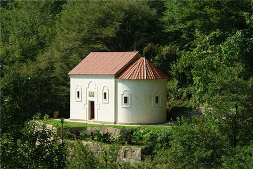
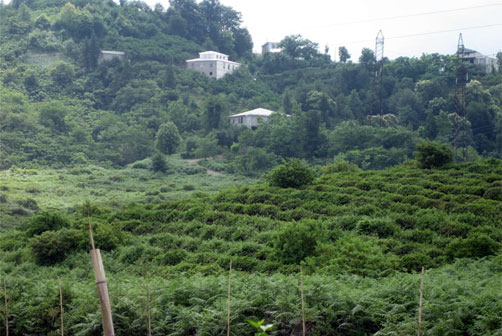
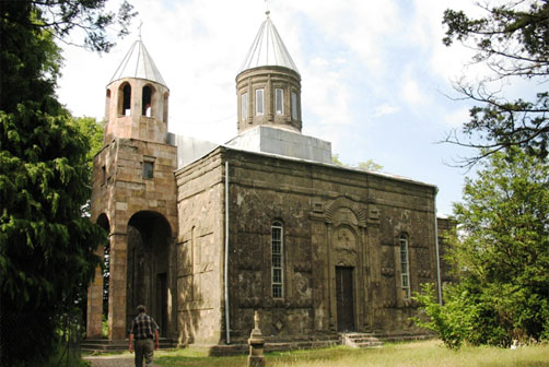
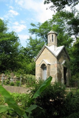
Geography Guria is bordered by Samegrelo to the north-west, Imereti to the north, Samtskhe-Javakheti to the east, Ajaria to the south, and the Black Sea to the west. The province has an area of 2,003 km². Guria consists of three administrative districts: * Ozurgeti * Lanchkhuti * Chokhatauri History The toponym "Guria" is first attested in the c. 800 Georgian chronicle of Pseudo-Juansher. The province had been under the rule of western Georgian rulers until the creation of the unified Georgian "Kingdom of Abkhazians and Georgians" towards the end of the tenth century AD. Guria then was a province (saeristavo) governed by an eristavi (duke). Following the disintegration of the Kingdom of Georgia in 1466, Guria turned into an independent principality (samtavro) under the noble family of Gurieli, nominal vassals of Imeretian kings. Attacked by the Ottomans at the turn of the sixteenth century, Guria lost Adjaria and became a tributary of the Sultan. In permanent disputes with neighbouring Georgian rulers, two princes of the Gurieli family Giorgi III Gurieli (reigned 1664-1684) and Mamia III Gurieli (reigned 1689-1714) were too successful to become king of Imereti in the late seventeenth century. Throughout the eighteenth century, Gurian princes were involved in anti-Ottoman liberation wars of the western Georgians. As a result, Guria lost the whole Adjaria and Lower Guria, part of which was forcibly Islamized. Prince Mamia V Gurieli accepted Russian sovereignty on 19 June 1810. Russian domination resulted in the 1819-1820 uprising. In 1828, the Tsarist government abolished the principality and annexed it to Kutais Gubernia in 1840. The 1841 peasant unrest as well as the 1905 uprising against the Russian rule was brutally suppressed. The former principality of Guria formed Ozurgeti mazra within the independent Democratic Republic of Georgia (DRG) in 1918-1921 and was divided into three districts under the Soviet rule. The region (mkhare) of Guria was created in 1995. The Orthodox churches of Likhauri and Shemokmedi are the main historical buildings in the province. Origin of the name "Guria" As for the etymology of the name of Guria, some say that the root of the word refers to restlessness and the word should mean "the land of the restless" and may be associated with events during the eighth and ninth centuries when "Leon became the King of Abkhazeti, Guruls refused to obey the ruler of Odzrakho, ceased their vassal relations with Adarnase and Ashot Bagrationi and united with Leon" as it was described in Vakhushti Bagrationi’s historical works of the eighteenth century. According to the later explanation, in the times of Georgia’s prosperity, when its borders stretched from "Nikopsia to Daruband", Guria was situated in the heart of the Georgian territory. The linguistic evidence for the above hypothesis is the Megrelian for "heart" – "guri". |
|
| "M U L T I T U R" | Среда, 16.07.2025, 7:23:55 Приветствую Вас Гость | RSS |

 |
Главная | Guria | Регистрация | Вход |  |